TAKEOFFS

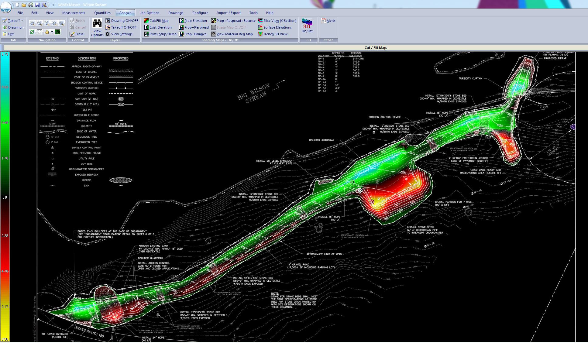
Send us your 2D project plan file in any number of file formats; CAD, PDF, PNG, JPEG (and others). Utilizing proprietary software developed by ROCTEK INTERNATIONAL, we convert that file into a 3D model file that can be scrutinized for all different types of takeoff quantities;
- Topsoil Strip
- Strata Layer quantities (additional geotechnical information required)
- Cut/Fill quantities including import & export.
- Structural Material quantities
- Structural/Trenching excavation quantities
- Foundations
- Underground Utilities
- Tanks/Subterrain structures
- Finish Surface quantities
- Paving
- Concrete
- Topsoil